Cart System
Rapid multichannel analysis of surface waves for non-destructive road and pavement evaluation.
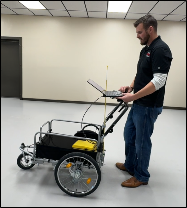
Cart System
Overview
The SeisMike Road System brings advanced MASW technology to roadway and pavement evaluation. Towed behind a vehicle, it collects high-quality multichannel data at road speeds for efficient, continuous, non-destructive evaluation of concrete and asphalt pavements.
The system is designed for rapid pavement condition assessment without interrupting traffic. It provides high-resolution subsurface imaging, real-time data quality feedback, and actionable results through Park Seismic PSX processing software.
SeisMike Road System is ideal for concrete pavement evaluation, asphalt pavement evaluation, pavement condition assessment, airport runway inspection, bridge deck and parking structure evaluation, and infrastructure asset management.
Features
- Rapid multichannel analysis of surface waves
- Collects data at typical road speeds
- Operating speed up to 45 mph / 72 km/h
- Non-destructive and continuous pavement evaluation
- Designed for concrete, asphalt, and composite pavements
- Tows easily with any Class III hitch
- 2 inch trailer hitch towing interface
- 48 channels
- 1.5 inch microphone spacing standard
- Multi-channel microphone array for high-resolution imaging
- Rugged all-weather design
- Integrated RTK GNSS positioning
- Real-time quality control
- Real-time GPS positioning
- 12V DC vehicle power requirement
- Data acquisition through SeisMike Controller
- S-velocity maps
- Density maps
- Shear modulus results
- Poisson’s ratio results
- Young’s modulus results
- Integrity interpretation maps
- Asphalt and concrete surface analysis
- Travel dimensions: 48 inches wide x 30 inches deep x 24 inches high
- Approximate weight: 85 lbs / 39 kg
- Designed and built in the USA
Benefits
- The road-speed towing design allows crews to evaluate long roadway sections much faster than stationary testing methods.
- Continuous data collection at road speeds helps reduce lane closures and traffic interruption.
- PSX processing provides clear subsurface images and engineering-property maps for better pavement condition evaluation.
- High-resolution results help identify weak zones, integrity changes, and areas requiring further investigation or repair.
- The system is designed for easy setup, vehicle towing, real-time QC, and fast field productivity.
- SeisMike evaluates roads and pavements without coring, cutting, or damaging the surface.
Brochure
Cart System BrochureRelated Applications
SeisMike Road System is used for rapid, non-destructive pavement and infrastructure evaluation.
- Evaluate concrete roadway and pavement conditions using road-speed MASW data.
- Assess asphalt road structure and subsurface integrity without destructive testing.
- Generate maps and interpretation results for maintenance and rehabilitation planning.
- Use rapid surface wave testing for runway and airfield pavement evaluation.
- Support long-term roadway, bridge deck, parking structure, and pavement management programs.